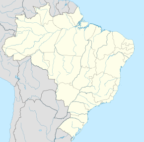
São Vicente Ferrer (Maranhão)
Qiyofa
São Vicente Ferrer (Maranhão) | |
|---|---|
| Munitsipalitet | |
 | |
| 2°53′38″S 44°52′48″W / 2.89389°S 44.88000°W | |
| Mamlakat | Braziliya |
| Shtat | Maranhão |
| Aholisi (2020[1]) |
22,350 |
| Vaqt mintaqasi | UTC−3 |
|
| |
São Vicente Ferrer (Maranhão) – Braziliyaning Maranhão shtati tarkibidagi munitsipalitet.

