
Fayl:Topographic map of Battle of Winterthur 1799.svg

Size of this PNG preview of this SVG file: 800 × 508 piksel. Boshqa oʻlchamlari: 320 × 203 piksel | 640 × 406 piksel | 1 024 × 650 piksel | 1 280 × 812 piksel | 2 560 × 1 625 piksel | 1 303 × 827 piksel.
Asl fayl (SVG fayl, asl oʻlchamlari 1 303 × 827 piksel, fayl hajmi: 2,35 MB)
Qisqa izoh
| Taʼrif |
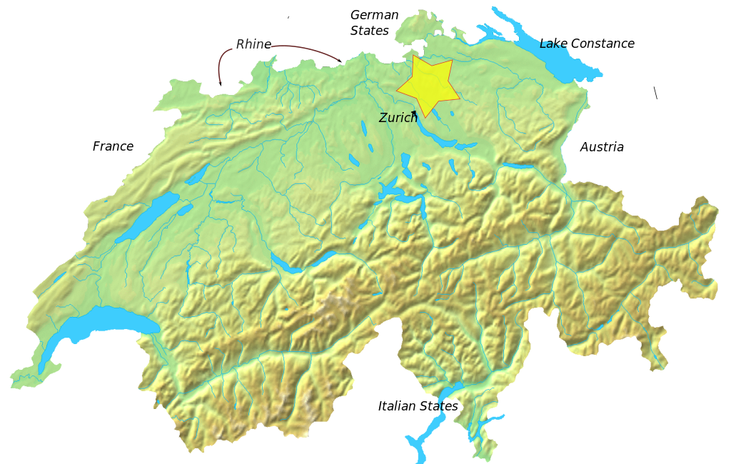
English: Blank topographic map of Switzerland.
Deutsch: Relief-Karte der Schweiz (blanko) |
| Sanasi | (UTC) |
| Manba | Own work based on: Switzerland topographic.png |
| Muallif |
|
| This is a retouched picture, which means that it has been digitally altered from its original version. Modifications: added location of battle outside Winterthur, May 1799. The original can be viewed here: Switzerland topographic.png:
|
I, the copyright holder of this work, hereby publish it under the following license:
| I, the copyright holder of this work, release this work into the public domain. This applies worldwide. In some countries this may not be legally possible; if so: I grant anyone the right to use this work for any purpose, without any conditions, unless such conditions are required by law. |
Original upload log
This image is a derivative work of the following images:
- File:Switzerland_topographic.png licensed with PD-self
- 2007-04-16T19:05:28Z Numerus Klausus 1508x958 (1819472 Bytes) {{Information |Description=Blanc topographic Map of Switzerland / Relief-Karte der Schweiz (blanko) |Source= Map created from [http://www2.demis.nl/mapserver/mapper.asp DEMIS Mapserver], which are public domain. |Date= 2007 |
Uploaded with derivativeFX
Fayl tarixi
Faylning biror paytdagi holatini koʻrish uchun tegishli sana/vaqtga bosingiz.
| Sana/Vaqt | Miniatura | Oʻlchamlari | Foydalanuvchi | Izoh | |
|---|---|---|---|---|---|
| joriy | 03:05, 9-Fevral 2010 | | 1 303 × 827 (2,35 MB) | Auntieruth55 | made smaller |
| 03:02, 9-Fevral 2010 |  | 1 508 × 958 (2,35 MB) | Auntieruth55 | Made image smaller | |
| 03:00, 9-Fevral 2010 |  | 1 508 × 958 (2,35 MB) | Auntieruth55 | {{Information |Description=Blank topographic Map of Switzerland / Relief-Karte der Schweiz (blanko) |Source=*File:Switzerland_topographic.png |Date=2010-02-09 02:59 (UTC) |Author=*File:Switzerland_topographic.png: User:Numerus Klausus / [[ |
Fayllarga ishoratlar
Bu faylga quyidagi sahifa bogʻlangan:
Faylning global foydalanilishi
Ushbu fayl quyidagi vikilarda ishlatilyapti:
- ca.wikipedia.org loyihasida foydalanilishi
- en.wikipedia.org loyihasida foydalanilishi
- es.wikipedia.org loyihasida foydalanilishi
- fa.wikipedia.org loyihasida foydalanilishi
- fr.wikipedia.org loyihasida foydalanilishi
- id.wikipedia.org loyihasida foydalanilishi
- pt.wikipedia.org loyihasida foydalanilishi
- ru.wikipedia.org loyihasida foydalanilishi
- uk.wikipedia.org loyihasida foydalanilishi
- vi.wikipedia.org loyihasida foydalanilishi
- www.wikidata.org loyihasida foydalanilishi
- zh.wikipedia.org loyihasida foydalanilishi