
Fayl:Map of Chosen.jpg

Asl fayl (2 055 × 3 163 piksel, fayl hajmi: 2,19 MB, MIME tipi: image/jpeg)
Qisqa izoh
| Taʼrif |
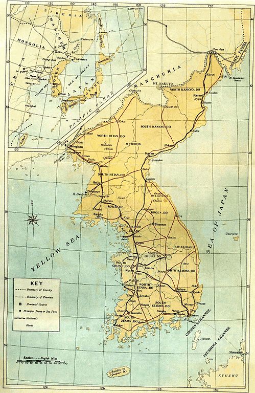
English: Old map of Korean peninsula with Japanese names.
한국어: 일제 강점기 한반도의 지도.
Русский: Старая карта Корейского полуострова с японскими названиями. |
| Sanasi | |
| Manba | Book "Chosen of Today" |
| Muallif | The Government-General of Korea |
Litsenziyalash
|
This work is in the public domain in its country of origin and other countries and areas where the copyright term is the author's life plus 70 years or fewer.
| |
| This file has been identified as being free of known restrictions under copyright law, including all related and neighboring rights. | |
Fayl tarixi
Faylning biror paytdagi holatini koʻrish uchun tegishli sana/vaqtga bosingiz.
| Sana/Vaqt | Miniatura | Oʻlchamlari | Foydalanuvchi | Izoh | |
|---|---|---|---|---|---|
| joriy | 18:36, 19-Mart 2010 | | 2 055 × 3 163 (2,19 MB) | Vajotwo | Removed borders |
| 15:02, 7-Yanvar 2010 |  | 2 315 × 3 263 (3,09 MB) | Elmor | {{Information |Description={{en|1=Old map of Korean peninsula with Japanese names.}} {{ko|1=일제시대 한바도의 지도.}} {{ru|1=Старая карта Корейского полуострова с японскими названиями.}} |Sourc |
Fayllarga ishoratlar
Bu faylga quyidagi sahifa bogʻlangan:
Faylning global foydalanilishi
Ushbu fayl quyidagi vikilarda ishlatilyapti:
- da.wikipedia.org loyihasida foydalanilishi
- da.wikibooks.org loyihasida foydalanilishi
- de.wikipedia.org loyihasida foydalanilishi
- fr.wikipedia.org loyihasida foydalanilishi
- kk.wikipedia.org loyihasida foydalanilishi
- lv.wikipedia.org loyihasida foydalanilishi
- no.wikipedia.org loyihasida foydalanilishi
- ru.wikipedia.org loyihasida foydalanilishi
- sv.wikipedia.org loyihasida foydalanilishi
- tr.wikipedia.org loyihasida foydalanilishi
- zh-yue.wikipedia.org loyihasida foydalanilishi