
Fayl:Sweden Norrbotten location map.svg

Size of this PNG preview of this SVG file: 511 × 599 piksel. Boshqa oʻlchamlari: 205 × 240 piksel | 409 × 480 piksel | 655 × 768 piksel | 873 × 1 024 piksel | 1 747 × 2 048 piksel | 853 × 1 000 piksel.
Asl fayl (SVG fayl, asl oʻlchamlari 853 × 1 000 piksel, fayl hajmi: 1,02 MB)
Qisqa izoh
| Taʼrif |
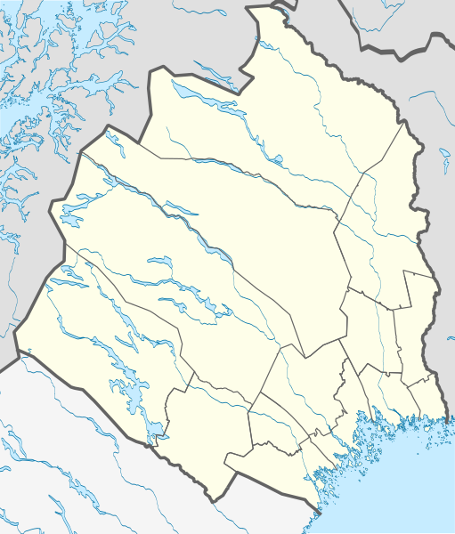
English: Location map of Norrbotten County in Sweden
Equirectangular projection, N/S stretching 257 %. Geographic limits of the map:
Deutsch: Positionskarte von Norrbottens län in Schweden
Quadratische Plattkarte, N-S-Streckung 257 %. Geographische Begrenzung der Karte:
|
| Sanasi | |
| Manba | Oʻzimning ishim |
| Muallif | Erik Frohne |
Litsenziyalash
I, the copyright holder of this work, hereby publish it under the following licenses:

|
Ushbu hujjatdan nusxa ko‘chirish, tarqatish va/yoki o‘zgartirish uchun GNU Erkin guvohnoma litsenziyasi (GNU Free Documentation License), 1.2 va har qanday keyingi versiyalar shartlariga muvofiq ruxsat berilgan yoki Ochiq kodli dasturlar jamiyati (Free Software Foundation) tomonidan chop etilgan; oʻzgarmas boʻlimlarsiz, oldingi muqova matnlari va orqa muqova matnlarisiz. Litsenziya nusxasi GNU Erkin guvohnoma litsenziyasi (GNU Free Documentation License) boʻlimiga kiritilgan. |
Bu fayl Creative Commons asosida litsenziyalangan Attribution- Share Alike 3.0 Unported litsenziyasi.
- Siz erkinsiz:
- ulashishga – ishlanmani nusxalash, tarqatish va uzatish
- remiks qilishga – ishni moslashtirishga
- Quyidagi shartlar asosida:
- atribut – Siz tegishli litsenziyaga havolani taqdim etishingiz va oʻzgartirishlar kiritilganligini koʻrsatishingiz kerak. Siz buni har qanday oqilona yoʻl bilan qilishingiz mumkin, lekin litsenziar Sizni yoki Sizning foydalanishingizni ma'qullashini taklif qiladigan tarzda emas.
- bir xil ulashish – Agar Siz materialni remiks qilsangiz, oʻzgartirsangiz yoki unga asoslansangiz, oʻz hissalaringizni asl nusxadagi kabi bir xil yoki mos litsenziya ostida tarqatishingiz kerak.
Siz oʻzingiz xohlagan litsenziyani tanlashingiz mumkin.
Fayl tarixi
Faylning biror paytdagi holatini koʻrish uchun tegishli sana/vaqtga bosingiz.
| Sana/Vaqt | Miniatura | Oʻlchamlari | Foydalanuvchi | Izoh | |
|---|---|---|---|---|---|
| joriy | 00:28, 23-Aprel 2017 | | 853 × 1 000 (1,02 MB) | Silverkey | Complete redrawing (the previous version was horribly inaccurate) |
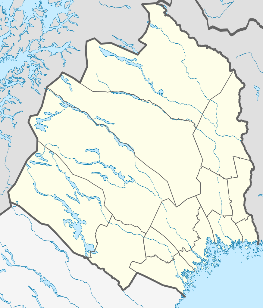
| 15:32, 2-Mart 2009 |  | 853 × 1 000 (572 KB) | Erik Frohne | {{Information |Description={{en|1=Location map of Norrbotten county in Sweden Equirectangular projection, N/S stretching 257 %. Geographic limits of the map: * N: 69.10° N * S: 64.90° N * W: 15.10° E * E: 24.30° E}} {{de|1=Positionskarte von Norrbot |
Fayllarga ishoratlar
Bu faylga quyidagi 2 sahifalar bogʻlangan:
Faylning global foydalanilishi
Ushbu fayl quyidagi vikilarda ishlatilyapti:
- ar.wikipedia.org loyihasida foydalanilishi
- bg.wikipedia.org loyihasida foydalanilishi
- ceb.wikipedia.org loyihasida foydalanilishi
- cs.wikipedia.org loyihasida foydalanilishi
- da.wikipedia.org loyihasida foydalanilishi
- Abisko
- Luleå
- Boden (Sverige)
- Abisko Nationalpark
- Gällivare
- Hortlax
- Malmberget
- Haparanda
- Piteå
- Flyulykken på Kebnekaise 2012
- Skabelon:Kortpositioner Sverige Norrbotten
- Björlings gletsjer
- Arjeplog
- Sikfors (Piteå kommun)
- Mellanström
- Slagnäs
- Sjulsmark (Piteå kommun)
- Strömsund (Luleå kommun)
- Råneå
- Nyborg (Sverige)
- Rolfs
- Påläng
Ushbu faylni koʻproq global foydalanishdan koʻring.