
Fayl:OpenStreetMap Cape Town small.svg

Asl fayl (SVG fayl, asl oʻlchamlari 496 × 399 piksel, fayl hajmi: 10,71 MB)
| Description |
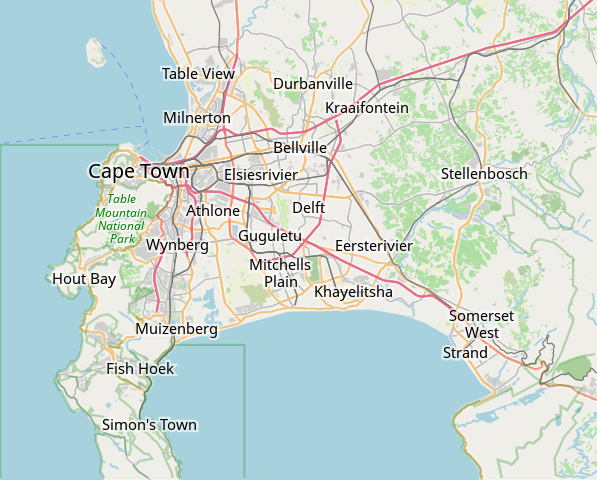
This map of Cape Town was created from OpenStreetMap project data, collected by the community. This map may be incomplete, and may contain errors. Don't rely solely on it for navigation. |
|||||||||
| Sanasi | (see file history) | |||||||||
| Manba | openstreetmap.org | |||||||||
| Yaratuvchi |
OpenStreetMap contributors |
|||||||||
| Ruxsat (Bu faylning takror foydalanilishi) |
OpenStreetMap data is available under the Open Database License (details). Map tiles are licensed under the Creative Commons Attribution-ShareAlike 2.0 license (CC-BY-SA 2.0).
This file is licensed under the Creative Commons Attribution-Share Alike 2.0 Generic license.
|
|||||||||
| Geotemporal data | ||||||||||
| Bounding box |
|
|||||||||
| Georeferencing | If inappropriate please set warp_status = skip to hide. | |||||||||
derivative works
Derivative works of this file: OpenStreetMap Kaapstad klein Afrikaans.svg
Fayl tarixi
Faylning biror paytdagi holatini koʻrish uchun tegishli sana/vaqtga bosingiz.
| Sana/Vaqt | Miniatura | Oʻlchamlari | Foydalanuvchi | Izoh | |
|---|---|---|---|---|---|
| joriy | 09:11, 16-Yanvar 2022 | | 496 × 399 (10,71 MB) | Htonl | customize labels |
| 08:27, 16-Yanvar 2022 |  | 496 × 399 (12,15 MB) | Htonl | update | |
| 07:12, 12-Yanvar 2011 |  | 424 × 351 (1,71 MB) | Htonl | *tiny* tweak | |
| 07:07, 12-Yanvar 2011 |  | 424 × 351 (1,72 MB) | Htonl | bounds | |
| 16:36, 3-Fevral 2010 |  | 496 × 399 (2,36 MB) | Htonl | {{OpenStreetMap|location=Cape Town}} Category:OpenStreetMap maps of South Africa |
Fayllarga ishoratlar
Bu faylga quyidagi 2 sahifalar bogʻlangan:
Faylning global foydalanilishi
Ushbu fayl quyidagi vikilarda ishlatilyapti:
- af.wikipedia.org loyihasida foydalanilishi
- Constantia
- Steenberg
- Athlone
- Bo-Kaap
- Table View
- Goodwood
- Pinelands
- Strand, Wes-Kaap
- Nuweland
- Wynberg
- Rondebosch
- Rosebank, Kaapstad
- Claremont, Kaapstad
- Mowbray
- Zwaanswyk
- Kaapstad Internasionale Lughawe
- Maitland
- Seepunt
- Drieankerbaai
- Brackenfell
- Observatory
- Soutrivier
- Woodstock
- Plumstead
- Llandudno
- Bergvliet
- Bishopscourt
- Heathfield
- Monte Vista
- Lansdowne
- Milnerton
- Kalkbaai
- Noordhoek
- Oranjezicht
- Tamboerskloof
- Hoërskool Durbanville
- Belhar
- Kampsbaai
- Higgovale
- Vredehoek
- Clifton
- Schotsche Kloof
- Zonnebloem
- Mouillepunt
- Elsiesrivier
- Bantrybaai
- Blue Downs
- Crawford
- Ottery
- Mfuleni
Ushbu faylni koʻproq global foydalanishdan koʻring.