
Fayl:Location map Hong Kong urban core.png

Bu prevyuning hajmi: 523 × 600 piksel. Boshqa oʻlchamlari: 209 × 240 piksel | 418 × 480 piksel | 670 × 768 piksel | 893 × 1 024 piksel | 1 786 × 2 048 piksel | 4 580 × 5 253 piksel.
Asl fayl (4 580 × 5 253 piksel, fayl hajmi: 11,55 MB, MIME tipi: image/png)
Qisqa izoh
| Taʼrif |
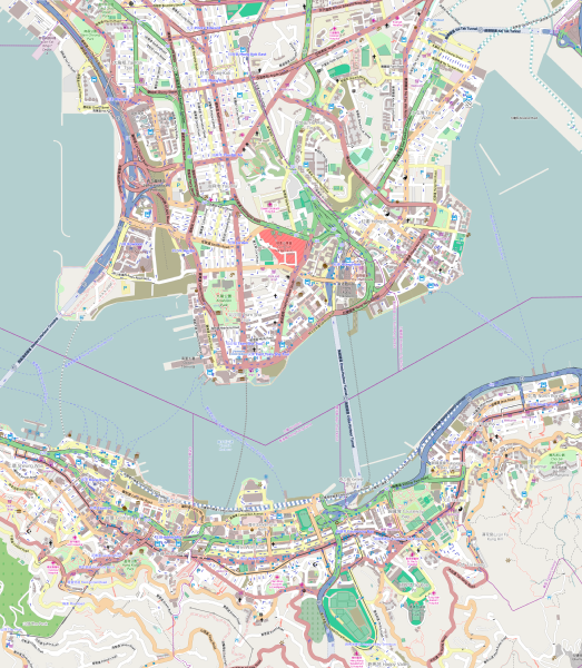
English: Map of the Hong Kong urban core
Geographic limits of the map:
|
| Sanasi | |
| Manba | OpenStreetMap (direct link) |
| Muallif | OpenStreetMap editors |
Litsenziyalash
| This work contains information from OpenStreetMap, which is made available under the Open Database License (ODbL).
The ODbL does not require any particular license for maps produced from ODbL data. Prior to 1 August 2020, map tiles produced by the OpenStreetMap Foundation were licensed under the CC-BY-SA-2.0 license. Maps produced by other people may be subject to other licences. |
Fayl tarixi
Faylning biror paytdagi holatini koʻrish uchun tegishli sana/vaqtga bosingiz.
| Sana/Vaqt | Miniatura | Oʻlchamlari | Foydalanuvchi | Izoh | |
|---|---|---|---|---|---|
| joriy | 14:56, 24-Oktyabr 2014 | | 4 580 × 5 253 (11,55 MB) | Jc86035 | Replaced with version one zoom up and rendered pixel-doubled in Inkscape, and also using the default tiles instead of MapQuest's because the latter are copyrighted by MapQuest and not CC-BY-SA. |
| 11:48, 7-Oktyabr 2014 |  | 645 × 741 (831 KB) | Underbar dk | User created page with UploadWizard |
Fayllarga ishoratlar
Bu faylga quyidagi 2 sahifalar bogʻlangan:
Faylning global foydalanilishi
Ushbu fayl quyidagi vikilarda ishlatilyapti:
- ar.wikipedia.org loyihasida foydalanilishi
- en.wikipedia.org loyihasida foydalanilishi
- The Peninsula Hong Kong
- Prince Edward station
- Mong Kok station
- Yau Ma Tei station
- Central station (MTR)
- East Tsim Sha Tsui station
- Admiralty station (MTR)
- Hong Kong station
- Whampoa station
- Ho Man Tin station
- Tsim Sha Tsui station
- Jordan station
- Sheung Wan station
- Wan Chai station
- Causeway Bay station
- Tin Hau station
- Fortress Hill station
- North Point station
- Olympic station
- Exhibition Centre station (MTR)
- Kowloon station (MTR)
- Mong Kok East station
- Hung Hom station
- Tamar station
- Hong Kong Cultural Centre
- Austin station (MTR)
- Cordis Hong Kong
- Sung Wong Toi station
- To Kwa Wan station
- Causeway Bay North station
- User:KX675/Sandbox
- 2014 Hong Kong protests
- Module:Location map/data/Hong Kong urban core
- Module:Location map/data/Hong Kong urban core/doc
- eo.wikipedia.org loyihasida foydalanilishi
- fa.wikipedia.org loyihasida foydalanilishi
- fr.wikipedia.org loyihasida foydalanilishi
- ja.wikipedia.org loyihasida foydalanilishi
Ushbu faylni koʻproq global foydalanishdan koʻring.