
Fayl:Lebanon location map Topographic.png

Bu prevyuning hajmi: 521 × 599 piksel. Boshqa oʻlchamlari: 209 × 240 piksel | 417 × 480 piksel | 993 × 1 142 piksel.
Asl fayl (993 × 1 142 piksel, fayl hajmi: 990 KB, MIME tipi: image/png)
Qisqa izoh
| Camera location | | View this and other nearby images on: OpenStreetMap |
|---|
| Taʼrif |
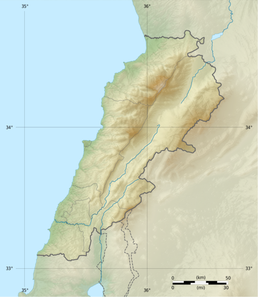
Deutsch: Positionskarte des Libanon
Quadratische Plattkarte, N-S-Streckung 115 %. Geographische Begrenzung der Karte: Français : Carte physique vierge du Liban, destinée à la géolocalisation.
Projection equirectangulaire, N/S stretching 115 %. Limites géographiques de la carte: English: Location map of Lebanon
Equirectangular projection, N/S stretching 115 %. Geographic limits of the map:
|
||
| Sanasi | |||
| Manba |
Topographic background map: Own work
|
||
| Muallif | Vivepat and NordNordWest | ||
| Ruxsat (Bu faylning takror foydalanilishi) |
|
||
| Other versions |
|


Litsenziyalash
I, the copyright holder of this work, hereby publish it under the following licenses:

|
Permission is granted to copy, distribute and/or modify this document under the terms of the GNU Free Documentation License, Version 1.2 only as published by the Free Software Foundation; with no Invariant Sections, no Front-Cover Texts, and no Back-Cover Texts. A copy of the license is included in the section entitled GNU Free Documentation License. | 1.2 only |
|
|
Permission is granted to copy, distribute and/or modify this document under the terms of the GNU Free Documentation License, Version 1.3 or any later version published by the Free Software Foundation; with no Invariant Sections, no Front-Cover Texts, and no Back-Cover Texts. A copy of the license is included in the section entitled GNU Free Documentation License.
|
If this file is eligible for relicensing, it may also be used under the Creative Commons Attribution-ShareAlike 3.0 license. The relicensing status of this image needs to be manually reviewed by an experienced user. You can help.
|
Siz oʻzingiz xohlagan litsenziyani tanlashingiz mumkin.
Fayl tarixi
Faylning biror paytdagi holatini koʻrish uchun tegishli sana/vaqtga bosingiz.
| Sana/Vaqt | Miniatura | Oʻlchamlari | Foydalanuvchi | Izoh | |
|---|---|---|---|---|---|
| joriy | 06:17, 22-Iyun 2017 | | 993 × 1 142 (990 KB) | Vivepat | correction lat/lon |
| 06:10, 22-Iyun 2017 |  | 993 × 1 142 (990 KB) | Vivepat | Lattitude error correction | |
| 05:59, 22-Iyun 2017 |  | 993 × 1 142 (990 KB) | Vivepat | update of the map using the Wikipedia maps conventions | |
| 22:12, 15-Iyun 2012 |  | 1 581 × 1 818 (3,35 MB) | Dr Brains |
Fayllarga ishoratlar
Bu faylga quyidagi 3 sahifalar bogʻlangan:
Faylning global foydalanilishi
Ushbu fayl quyidagi vikilarda ishlatilyapti:
- als.wikipedia.org loyihasida foydalanilishi
- an.wikipedia.org loyihasida foydalanilishi
- ar.wikipedia.org loyihasida foydalanilishi
- arz.wikipedia.org loyihasida foydalanilishi
- ast.wikipedia.org loyihasida foydalanilishi
- az.wikipedia.org loyihasida foydalanilishi
- bn.wikipedia.org loyihasida foydalanilishi
- bs.wikipedia.org loyihasida foydalanilishi
- ca.wikipedia.org loyihasida foydalanilishi
- ceb.wikipedia.org loyihasida foydalanilishi
- ce.wikipedia.org loyihasida foydalanilishi
- cs.wikipedia.org loyihasida foydalanilishi
- da.wikipedia.org loyihasida foydalanilishi
- el.wikipedia.org loyihasida foydalanilishi
- en.wikipedia.org loyihasida foydalanilishi
Ushbu faylni koʻproq global foydalanishdan koʻring.