
Fayl:Iwate-ken géolocalisation relief.svg

Size of this PNG preview of this SVG file: 361 × 599 piksel. Boshqa oʻlchamlari: 145 × 240 piksel | 289 × 480 piksel | 463 × 768 piksel | 617 × 1 024 piksel | 1 235 × 2 048 piksel | 1 720 × 2 852 piksel.
Asl fayl (SVG fayl, asl oʻlchamlari 1 720 × 2 852 piksel, fayl hajmi: 3,31 MB)
Qisqa izoh
| Camera location | | View this and other nearby images on: OpenStreetMap |
|---|
| Taʼrif |
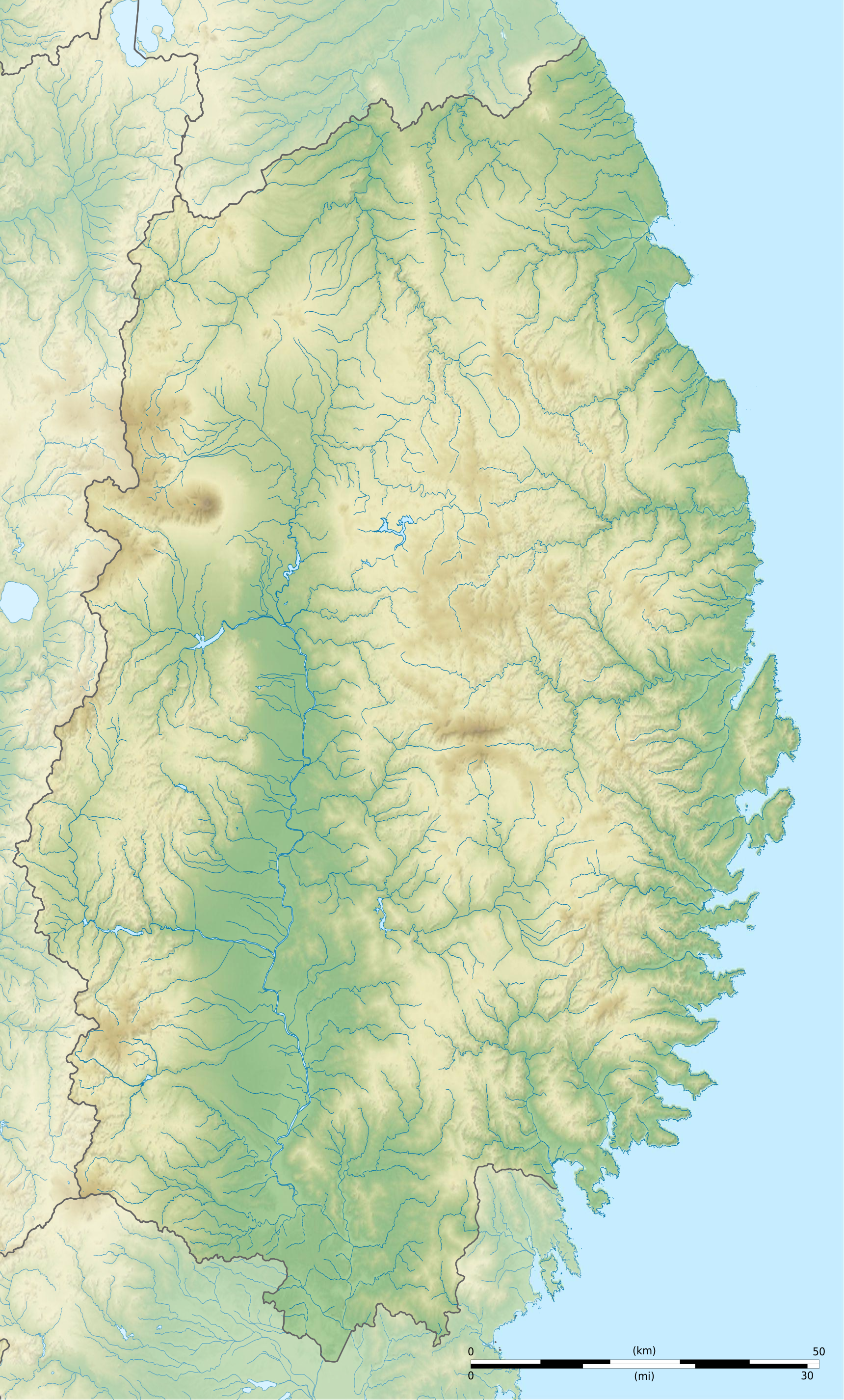
Français : Carte topographique vierge de la Préfecture d'Iwate, au Japon, destinée à la géolocalisation.
Deutsch: Topographische Karte der Präfektur Iwate.
English: Topographic blank map of the Iwate Prefecture, for geolocalisation purpose.
Español: Mapa topográfico de la Prefectura de Iwate.
Italiano: Mappa topografica della Prefettura di Iwate.
日本語: 岩手県の地図.
Português: Carta topográfica de la província de Iwate.
|
||
| Sanasi | (UTC) | ||
| Manba |
Création personnelle ;
|
||
| Muallif | © Bourrichon (talk) - fr:Bourrichon | ||
| Ruxsat (Bu faylning takror foydalanilishi) |
|
||
| Other versions | File:Iwate-ken géolocalisation.svg |

|
This SVG file contains embedded text that can be translated into your language, using any capable SVG editor, text editor or the SVG Translate tool. For more information see: About translating SVG files. |
This W3C-unspecified vector image was created with Inkscape .
Litsenziyalash
I, the copyright holder of this work, hereby publish it under the following license:
This file is licensed under the Creative Commons Attribution-Share Alike 2.0 France license.
Attributsiya: Bourrichon (atelier graphique)
- Siz erkinsiz:
- ulashishga – ishlanmani nusxalash, tarqatish va uzatish
- remiks qilishga – ishni moslashtirishga
- Quyidagi shartlar asosida:
- atribut – Siz tegishli litsenziyaga havolani taqdim etishingiz va oʻzgartirishlar kiritilganligini koʻrsatishingiz kerak. Siz buni har qanday oqilona yoʻl bilan qilishingiz mumkin, lekin litsenziar Sizni yoki Sizning foydalanishingizni ma'qullashini taklif qiladigan tarzda emas.
- bir xil ulashish – Agar Siz materialni remiks qilsangiz, oʻzgartirsangiz yoki unga asoslansangiz, oʻz hissalaringizni asl nusxadagi kabi bir xil yoki mos litsenziya ostida tarqatishingiz kerak.

Fayl tarixi
Faylning biror paytdagi holatini koʻrish uchun tegishli sana/vaqtga bosingiz.
| Sana/Vaqt | Miniatura | Oʻlchamlari | Foydalanuvchi | Izoh | |
|---|---|---|---|---|---|
| joriy | 21:32, 3-Iyul 2013 | | 1 720 × 2 852 (3,31 MB) | Bourrichon | |
| 21:27, 3-Iyul 2013 |  | 1 720 × 2 852 (2,96 MB) | Bourrichon | == {{int:filedesc}} == {{Location|39|00|00|N|141|00|00|E|scale:10000}} {{Information |Description= {{fr|Carte topographique vierge de la fr:Préfecture d'Iwate, au Japon, destinée à la géolocalisation.}} {{de|Topographische Kart... |
Fayllarga ishoratlar
Bu faylga quyidagi 2 sahifalar bogʻlangan:
Faylning global foydalanilishi
Ushbu fayl quyidagi vikilarda ishlatilyapti:
- ar.wikipedia.org loyihasida foydalanilishi
- ceb.wikipedia.org loyihasida foydalanilishi
- ce.wikipedia.org loyihasida foydalanilishi
- de.wikipedia.org loyihasida foydalanilishi
- en.wikipedia.org loyihasida foydalanilishi
- Iwate Morioka Stadium
- Battle of Miyako Bay
- Battle of Kawasaki
- Morioka Castle
- Mōtsū-ji
- Kanjizaiō-in
- Chūson-ji
- Nakatsu River
- Mount Hayachine
- Sarugaishi River
- Waga River
- Ishibuchi Dam
- Mount Iwate
- Goishi Coast
- Scenic areas of Ihatov
- Genbikei
- Jōdogahama
- Geibikei
- Hayachine Quasi-National Park
- Ryūsendō
- Module:Location map/data/Japan Iwate Prefecture/doc
- Yuda Onsenkyō Prefectural Natural Park
- Fudō Falls
- Akkadō
- Goshono site
- Kunohe Castle
- Shiwa Castle
- Tokutan Castle
- Cape Todo
- Sakiyama Shell Mound
- Ayaorishinden Site
- Kabayama Site
- Hatten Site
- Ezuriko Kofun Cluster
- Hashino iron mining and smelting site
- Nanbu-Date border mounds
- Nakazawahama Shell Mound
Ushbu faylni koʻproq global foydalanishdan koʻring.