
Fayl:Germany location map.svg

Asl fayl (SVG fayl, asl oʻlchamlari 1 073 × 1 272 piksel, fayl hajmi: 452 KB)
Qisqa izoh
| Taʼrif |
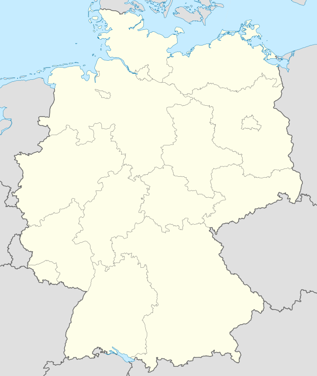
Quadratische Plattkarte, N-S-Streckung 150 %. Geographische Begrenzung der Karte:
Equirectangular projection, N/S stretching 150 %. Geographic limits of the map:
Français : Carte de l'Allemagne |
||
| Sanasi | |||
| Manba | Oʻzimning ishim, using United States National Imagery and Mapping Agency data | ||
| Muallif | NordNordWest | ||
| Other versions |
Derivative works of this file:
Bundesrepublik Deutschland (vor 1990 nur West-Deutschland):
Deutsche Demokratische Republik (mit BRD im Ausschnitt):
Ostdeutschland (vor 1990 Deutsche Demokratische Republik):
Deutschland zwischen Mai 1945 und Oktober 1949:
Thematisch:
Deutsches Reich (1918–1945) (best used with this template (de)):
|
||
| SVG genesis | This W3C-invalid map was created with Adobe Illustrator.
|


_23_May_1949_-_6_Oct_1949.svg)


_location_map.svg)
_location_map_2013.svg)


_location_map.svg)
Litsenziyalash

|
Ushbu hujjatdan nusxa ko‘chirish, tarqatish va/yoki o‘zgartirish uchun GNU Erkin guvohnoma litsenziyasi (GNU Free Documentation License), 1.2 va har qanday keyingi versiyalar shartlariga muvofiq ruxsat berilgan yoki Ochiq kodli dasturlar jamiyati (Free Software Foundation) tomonidan chop etilgan; oʻzgarmas boʻlimlarsiz, oldingi muqova matnlari va orqa muqova matnlarisiz. Litsenziya nusxasi GNU Erkin guvohnoma litsenziyasi (GNU Free Documentation License) boʻlimiga kiritilgan. |
- Siz erkinsiz:
- ulashishga – ishlanmani nusxalash, tarqatish va uzatish
- remiks qilishga – ishni moslashtirishga
- Quyidagi shartlar asosida:
- atribut – Siz tegishli litsenziyaga havolani taqdim etishingiz va oʻzgartirishlar kiritilganligini koʻrsatishingiz kerak. Siz buni har qanday oqilona yoʻl bilan qilishingiz mumkin, lekin litsenziar Sizni yoki Sizning foydalanishingizni ma'qullashini taklif qiladigan tarzda emas.
- bir xil ulashish – Agar Siz materialni remiks qilsangiz, oʻzgartirsangiz yoki unga asoslansangiz, oʻz hissalaringizni asl nusxadagi kabi bir xil yoki mos litsenziya ostida tarqatishingiz kerak.
Fayl tarixi
Faylning biror paytdagi holatini koʻrish uchun tegishli sana/vaqtga bosingiz.
| Sana/Vaqt | Miniatura | Oʻlchamlari | Foydalanuvchi | Izoh | |
|---|---|---|---|---|---|
| joriy | 12:51, 16-Sentyabr 2013 | | 1 073 × 1 272 (452 KB) | SokoWiki | Clearer borders. |
| 08:34, 16-Sentyabr 2013 |  | 1 073 × 1 272 (452 KB) | NordNordWest | Reverted to version as of 12:32, 2 October 2012; didn't make anything better | |
| 08:34, 16-Sentyabr 2013 |  | 1 073 × 1 272 (452 KB) | NordNordWest | Reverted to version as of 12:32, 2 October 2012; didn't make anything better | |
| 20:08, 15-Sentyabr 2013 |  | 1 073 × 1 272 (451 KB) | SokoWiki | * | |
| 12:32, 2-Oktyabr 2012 |  | 1 073 × 1 272 (452 KB) | Palosirkka | Reverted to version as of 20:14, 5 August 2012 Location maps must remain very accurate | |
| 05:40, 2-Oktyabr 2012 |  | 1 073 × 1 272 (396 KB) | Palosirkka | Scrubbed with http://codedread.com/scour/ | |
| 20:14, 5-Avgust 2012 |  | 1 073 × 1 272 (452 KB) | NordNordWest | upd | |
| 10:03, 19-Yanvar 2010 |  | 1 073 × 1 272 (490 KB) | NordNordWest | update | |
| 08:33, 22-Iyul 2009 |  | 1 075 × 1 273 (608 KB) | NordNordWest | c | |
| 14:36, 13-Oktyabr 2008 |  | 1 075 × 1 273 (606 KB) | NordNordWest |
Fayllarga ishoratlar
More than 100 pages use this file. The following list shows the first 100 pages that use this file only. A full list is available.
- Abenberg
- Adelschlag
- Adelzhausen
- Affing
- Aichach
- Aindling
- Allersberg
- Altmannstein
- Altötting
- Augsburg
- Baar (Schwaben)
- Bamberg
- Beilngries
- Berge (Quyi Saksoniya)
- Berlin
- Buchenbach
- Burghausen
- Burgkirchen an der Alz
- Buxheim (Oberbayern)
- Böhmfeld
- Büchenbach
- Darmstadt
- Dasing
- Denkendorf
- Dollnstein
- Egweil
- Eichstätt
- Eitensheim
- Emmerting
- Erlbach (Oberbayern)
- Eurasburg (Schwaben)
- Feichten an der Alz
- Friedberg (Bavariya)
- Gaimersheim
- Garching an der Alz
- Georgensgmünd
- Greding
- Großmehring
- Haiming (Bavariya)
- Halle (Saale)
- Halsbach
- Hannover
- Heideck
- Hepberg
- Hilpoltstein
- Hitzhofen
- Hollenbach
- Inchenhofen
- Kammerstein
- Karlsruhe
- Kassel
- Kastl (Oberbayern)
- Kinding
- Kipfenberg
- Kirchweidach
- Kissing
- Kösching
- Kühbach
- Leipzig
- Lenting
- Mannheim
- Marktl
- Mehring (Bavariya)
- Merching
- Mindelstetten
- Mähring
- Mörnsheim
- München
- Nassenfels
- Neuötting
- Oberdolling
- Obergriesbach
- Perach
- Petersdorf (Bavariya)
- Pförring
- Pleiskirchen
- Pollenfeld
- Pöttmes
- Rednitzhembach
- Rehling
- Ried (bei Mering)
- Rohr (Mittelfranken)
- Roth
- Röttenbach (Roth)
- Schernfeld
- Schiltberg
- Schmiechen
- Schwanstetten
- Sielenbach
- Stammham (bei Ingolstadt)
- Steindorf (Schwaben)
- Stuttgart
- Thalmassing
- Thalmässing
- Titting
- Todtenweis
- Walting
- Wellheim
- Wendelstein (Mittelfranken)
- Wettstetten
View more links to this file.
Faylning global foydalanilishi
Ushbu fayl quyidagi vikilarda ishlatilyapti:
- af.wikipedia.org loyihasida foydalanilishi
- als.wikipedia.org loyihasida foydalanilishi
- Weil der Stadt
- Schopfheim
- Rheinfelden (Baden)
- Rümmingen
- Lörrach
- Kehl
- Steinen (Baden)
- Weil am Rhein
- Bad Säckingen
- Freiburg im Breisgau
- Schwörstadt
- Augsburg
- Zell im Wiesental
- Maulburg
- Offenburg
- Ötigheim
- Hamburg
- Renchen
- Konstanz
- Furtwangen im Schwarzwald
- Görwihl
- Ebringen
- Müllheim im Markgräflerland
- Pfaffenweiler
- Calw
- Au (Breisgau)
- Merzhausen
- Sölden (Schwarzwald)
- Schallstadt
- Bollschweil
- Ehrenkirchen
- Wittnau (Breisgau)
- Vörstetten
- Achern
- Wehr (Baden)
- Vogtsburg im Kaiserstuhl
Ushbu faylni koʻproq global foydalanishdan koʻring.