
Fayl:Arabian Peninsula (orthographic projection).png

Bu prevyuning hajmi: 600 × 600 piksel. Boshqa oʻlchamlari: 240 × 240 piksel | 480 × 480 piksel | 768 × 768 piksel | 1 024 × 1 024 piksel | 2 000 × 2 000 piksel.
Asl fayl (2 000 × 2 000 piksel, fayl hajmi: 666 KB, MIME tipi: image/png)
.png)
Qisqa izoh
| Taʼrif |
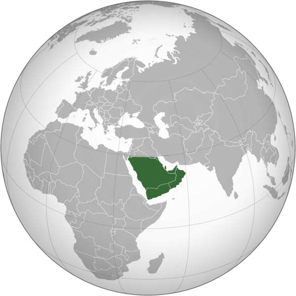
English: The Arabian Peninsula العربية: شبه الجزيرة العربية |
| Sanasi | |
| Manba | Oʻzimning ishim |
| Muallif | Afrogindahood |
Litsenziyalash
| This map is ineligible for copyright and therefore in the public domain, because it consists entirely of information that is common property and contains no original authorship. For more information, see Commons:Threshold of originality § Maps.
|
Fayl tarixi
Faylning biror paytdagi holatini koʻrish uchun tegishli sana/vaqtga bosingiz.
| Sana/Vaqt | Miniatura | Oʻlchamlari | Foydalanuvchi | Izoh | |
|---|---|---|---|---|---|
| joriy | 14:14, 7-Mart 2023 | | 2 000 × 2 000 (666 KB) | Treetoes023 | Reverted to version as of 23:11, 6 January 2020 (UTC): This version shows the geographic Arabian Peninsula. |
| 21:24, 24-Yanvar 2020 |  | 2 000 × 2 000 (399 KB) | Ham105 | Reverted to version as of 03:49, 7 March 2015 (UTC) | |
| 23:11, 6-Yanvar 2020 |  | 2 000 × 2 000 (666 KB) | Sariyr | Reverted to version as of 22:23, 4 January 2020 (UTC): Northern border line between the Gulf of Aqaba and the Kuwait Bay. | |
| 04:06, 5-Yanvar 2020 |  | 2 000 × 2 000 (399 KB) | Ham105 | Reverted to version as of 03:49, 7 March 2015 (UTC) unsourced - take it to the discussion page | |
| 22:23, 4-Yanvar 2020 |  | 2 000 × 2 000 (666 KB) | Sariyr | Reverted to version as of 02:46, 4 January 2020 (UTC): Northern border line between the Gulf of Akaba an the Kuwait Bay. | |
| 15:37, 4-Yanvar 2020 |  | 2 000 × 2 000 (399 KB) | Ham105 | Reverted to version as of 03:49, 7 March 2015 (UTC) | |
| 02:46, 4-Yanvar 2020 |  | 2 000 × 2 000 (666 KB) | Sariyr | Northern border line between the Gulf of Akaba an the Kuwait Bay. | |
| 03:49, 7-Mart 2015 |  | 2 000 × 2 000 (399 KB) | Afrogindahood | User created page with UploadWizard |
Fayllarga ishoratlar
Bu faylga quyidagi sahifa bogʻlangan:
Faylning global foydalanilishi
Ushbu fayl quyidagi vikilarda ishlatilyapti:
- ar.wikipedia.org loyihasida foydalanilishi
- arz.wikipedia.org loyihasida foydalanilishi
- azb.wikipedia.org loyihasida foydalanilishi
- bn.wikipedia.org loyihasida foydalanilishi
- ckb.wikipedia.org loyihasida foydalanilishi
- cs.wikipedia.org loyihasida foydalanilishi
- el.wikiversity.org loyihasida foydalanilishi
- en.wikipedia.org loyihasida foydalanilishi
- fa.wikipedia.org loyihasida foydalanilishi
- he.wikipedia.org loyihasida foydalanilishi
- hy.wikipedia.org loyihasida foydalanilishi
- hyw.wikipedia.org loyihasida foydalanilishi
- id.wikipedia.org loyihasida foydalanilishi
- it.wikivoyage.org loyihasida foydalanilishi
- kn.wikipedia.org loyihasida foydalanilishi
- mrj.wikipedia.org loyihasida foydalanilishi
- pnb.wikipedia.org loyihasida foydalanilishi
- ps.wikipedia.org loyihasida foydalanilishi
- pt.wikipedia.org loyihasida foydalanilishi
- sc.wikipedia.org loyihasida foydalanilishi
- si.wikipedia.org loyihasida foydalanilishi
- sl.wikipedia.org loyihasida foydalanilishi
- sr.wikipedia.org loyihasida foydalanilishi
- th.wikipedia.org loyihasida foydalanilishi
- ur.wikipedia.org loyihasida foydalanilishi
- vi.wikipedia.org loyihasida foydalanilishi
.png)