
Fayl:Switzerland topographic.png
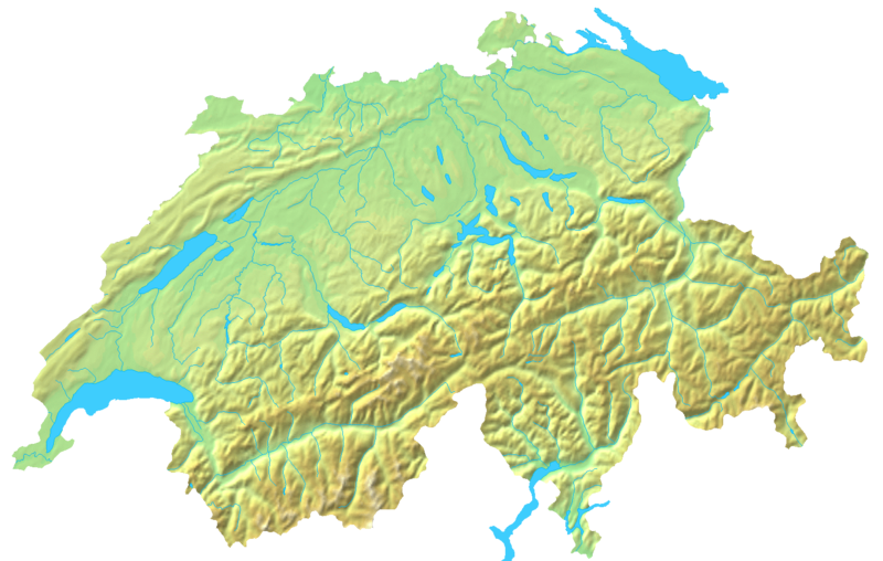
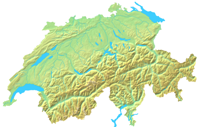
Bu prevyuning hajmi: 800 × 508 piksel. Boshqa oʻlchamlari: 320 × 203 piksel | 640 × 407 piksel | 1 024 × 651 piksel | 1 508 × 958 piksel.
Asl fayl (1 508 × 958 piksel, fayl hajmi: 1,74 MB, MIME tipi: image/png)
Qisqa izoh
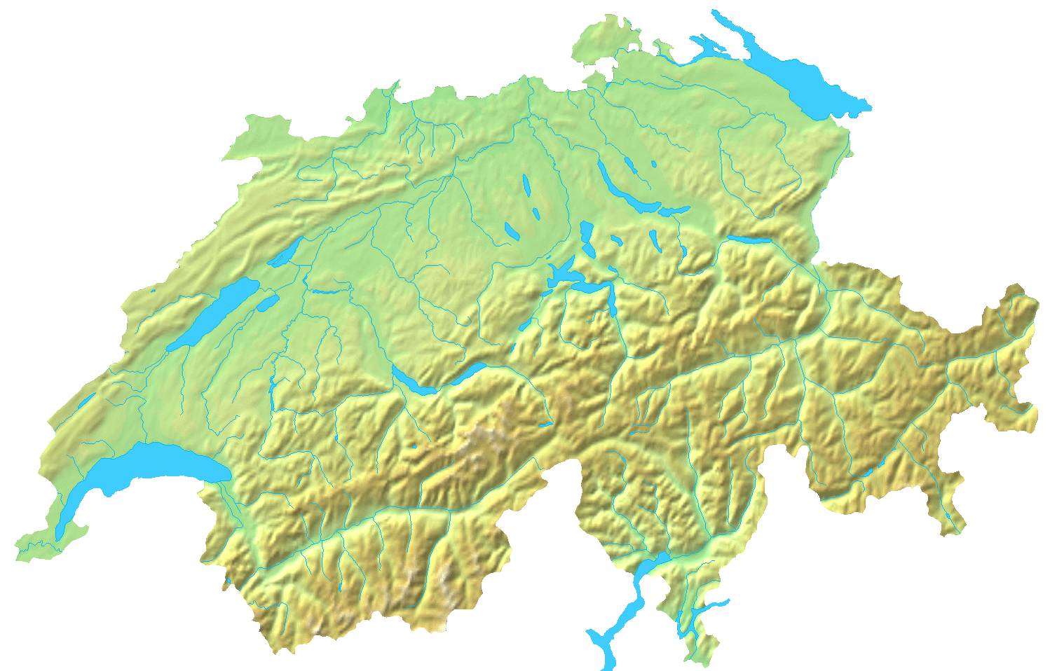
| Taʼrif | Blanc topographic Map of Switzerland / Relief-Karte der Schweiz (blanko) |
| Sanasi | |
| Manba | Map created from DEMIS Mapserver, which are public domain. |
| Muallif | User:Numerus Klausus / de:Benutzer:Lirum Larum |
| Other versions | Derivative works of this file: Topographic map of Battle of Winterthur 1799.png |
Litsenziyalash
| I, the copyright holder of this work, release this work into the public domain. This applies worldwide. In some countries this may not be legally possible; if so: I grant anyone the right to use this work for any purpose, without any conditions, unless such conditions are required by law. |
Fayl tarixi
Faylning biror paytdagi holatini koʻrish uchun tegishli sana/vaqtga bosingiz.
| Sana/Vaqt | Miniatura | Oʻlchamlari | Foydalanuvchi | Izoh | |
|---|---|---|---|---|---|
| joriy | 19:05, 16-Aprel 2007 | | 1 508 × 958 (1,74 MB) | Numerus Klausus | {{Information |Description=Blanc topographic Map of Switzerland / Relief-Karte der Schweiz (blanko) |Source= Map created from [http://www2.demis.nl/mapserver/mapper.asp DEMIS Mapserver], which are public domain. |Date= 2007 |Author= [[User:Numerus Klausus |
Fayllarga ishoratlar
Bu faylga bogʻlangan sahifalar yoʻq.
Faylning global foydalanilishi
Ushbu fayl quyidagi vikilarda ishlatilyapti:
- en.wikipedia.org loyihasida foydalanilishi
- fr.wikipedia.org loyihasida foydalanilishi
- uk.wikipedia.org loyihasida foydalanilishi
- zh.wikipedia.org loyihasida foydalanilishi