
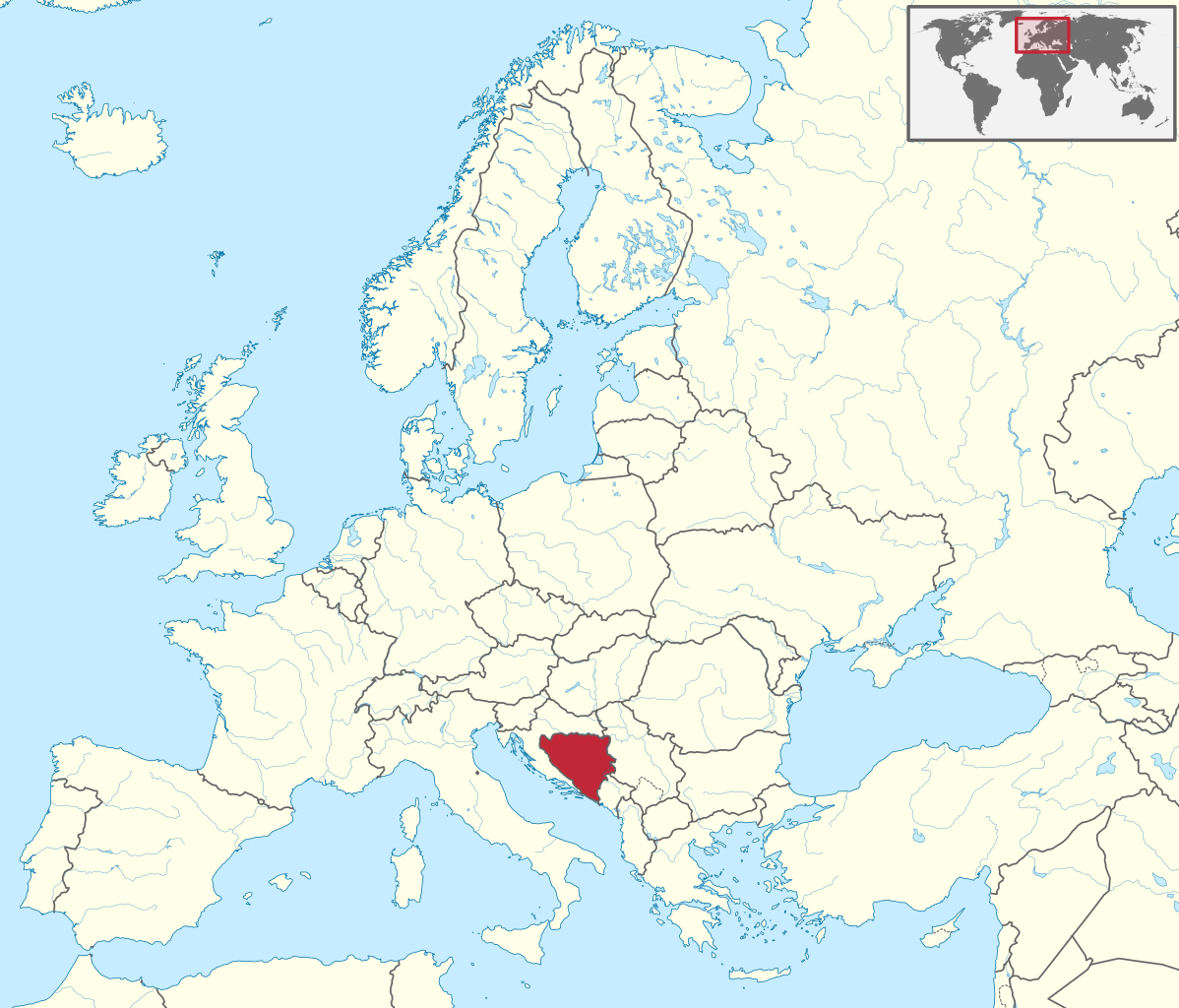
Fayl:Bosnia and Herzegovina in Europe.svg

Size of this PNG preview of this SVG file: 701 × 599 piksel. Boshqa oʻlchamlari: 281 × 240 piksel | 561 × 480 piksel | 898 × 768 piksel | 1 198 × 1 024 piksel | 2 395 × 2 048 piksel | 1 401 × 1 198 piksel.
Asl fayl (SVG fayl, asl oʻlchamlari 1 401 × 1 198 piksel, fayl hajmi: 2,61 MB)
Qisqa izoh
.svg)
.svg)
.svg)
.svg)
.svg)
.svg)
.svg)

-en.svg)

.svg)
.svg)
.svg)

_(US48).svg)
_(small_islands_magnified)_(-mini_map_-rivers).svg)
.svg)
_(extra_close)_(US48).svg)
.svg)
_(zoom).svg)

.svg)


_(UNMIK).svg)
.svg)
_(disputed_hatched).svg)
_(claimed_and_disputed_hatched).svg)
.svg)
.svg)
_(%2Ball_claims_hatched).svg)

.svg)
_(shade).svg)
_(shade)_(special_marker).svg)
_(-mini_map).svg)
_(-mini_map).svg)
_(-mini_map).svg)


.svg)

.svg)
Litsenziyalash
I, the copyright holder of this work, hereby publish it under the following license:
Bu fayl Creative Commons asosida litsenziyalangan Attribution- Share Alike 3.0 Unported litsenziyasi.
- Siz erkinsiz:
- ulashishga – ishlanmani nusxalash, tarqatish va uzatish
- remiks qilishga – ishni moslashtirishga
- Quyidagi shartlar asosida:
- atribut – Siz tegishli litsenziyaga havolani taqdim etishingiz va oʻzgartirishlar kiritilganligini koʻrsatishingiz kerak. Siz buni har qanday oqilona yoʻl bilan qilishingiz mumkin, lekin litsenziar Sizni yoki Sizning foydalanishingizni ma'qullashini taklif qiladigan tarzda emas.
- bir xil ulashish – Agar Siz materialni remiks qilsangiz, oʻzgartirsangiz yoki unga asoslansangiz, oʻz hissalaringizni asl nusxadagi kabi bir xil yoki mos litsenziya ostida tarqatishingiz kerak.

|
I'd greatly appreciate, that you attribute this media file to Wikimedia Commons, if used outside Wikipedia or Commons. For use in publications such as books, newspapers, blogs, websites, please insert here the following line:
|
Fayl tarixi
Faylning biror paytdagi holatini koʻrish uchun tegishli sana/vaqtga bosingiz.
| Sana/Vaqt | Miniatura | Oʻlchamlari | Foydalanuvchi | Izoh | |
|---|---|---|---|---|---|
| joriy | 04:29, 12-Iyul 2016 | | 1 401 × 1 198 (2,61 MB) | Stasyan117 | Dotted line between Ukraine and Crimea |
| 14:11, 17-Mart 2011 |  | 1 401 × 1 198 (4,04 MB) | TUBS |
Fayllarga ishoratlar
Bu faylga quyidagi 2 sahifalar bogʻlangan:
Faylning global foydalanilishi
Ushbu fayl quyidagi vikilarda ishlatilyapti:
- ace.wikipedia.org loyihasida foydalanilishi
- ang.wikipedia.org loyihasida foydalanilishi
- be-tarask.wikipedia.org loyihasida foydalanilishi
- bg.wikipedia.org loyihasida foydalanilishi
- bs.wikiquote.org loyihasida foydalanilishi
- de.wikipedia.org loyihasida foydalanilishi
- en.wikinews.org loyihasida foydalanilishi
- es.wikipedia.org loyihasida foydalanilishi
- et.wikipedia.org loyihasida foydalanilishi
- fi.wikipedia.org loyihasida foydalanilishi
- frr.wikipedia.org loyihasida foydalanilishi
- fr.wikipedia.org loyihasida foydalanilishi
- fy.wikipedia.org loyihasida foydalanilishi
- hsb.wikipedia.org loyihasida foydalanilishi
- hu.wiktionary.org loyihasida foydalanilishi
- incubator.wikimedia.org loyihasida foydalanilishi
- it.wiktionary.org loyihasida foydalanilishi
- lv.wikipedia.org loyihasida foydalanilishi
- nl.wikipedia.org loyihasida foydalanilishi
- os.wikipedia.org loyihasida foydalanilishi
- pl.wikipedia.org loyihasida foydalanilishi
- pt.wikipedia.org loyihasida foydalanilishi
- pt.wikiquote.org loyihasida foydalanilishi
- pt.wiktionary.org loyihasida foydalanilishi
Ushbu faylni koʻproq global foydalanishdan koʻring.